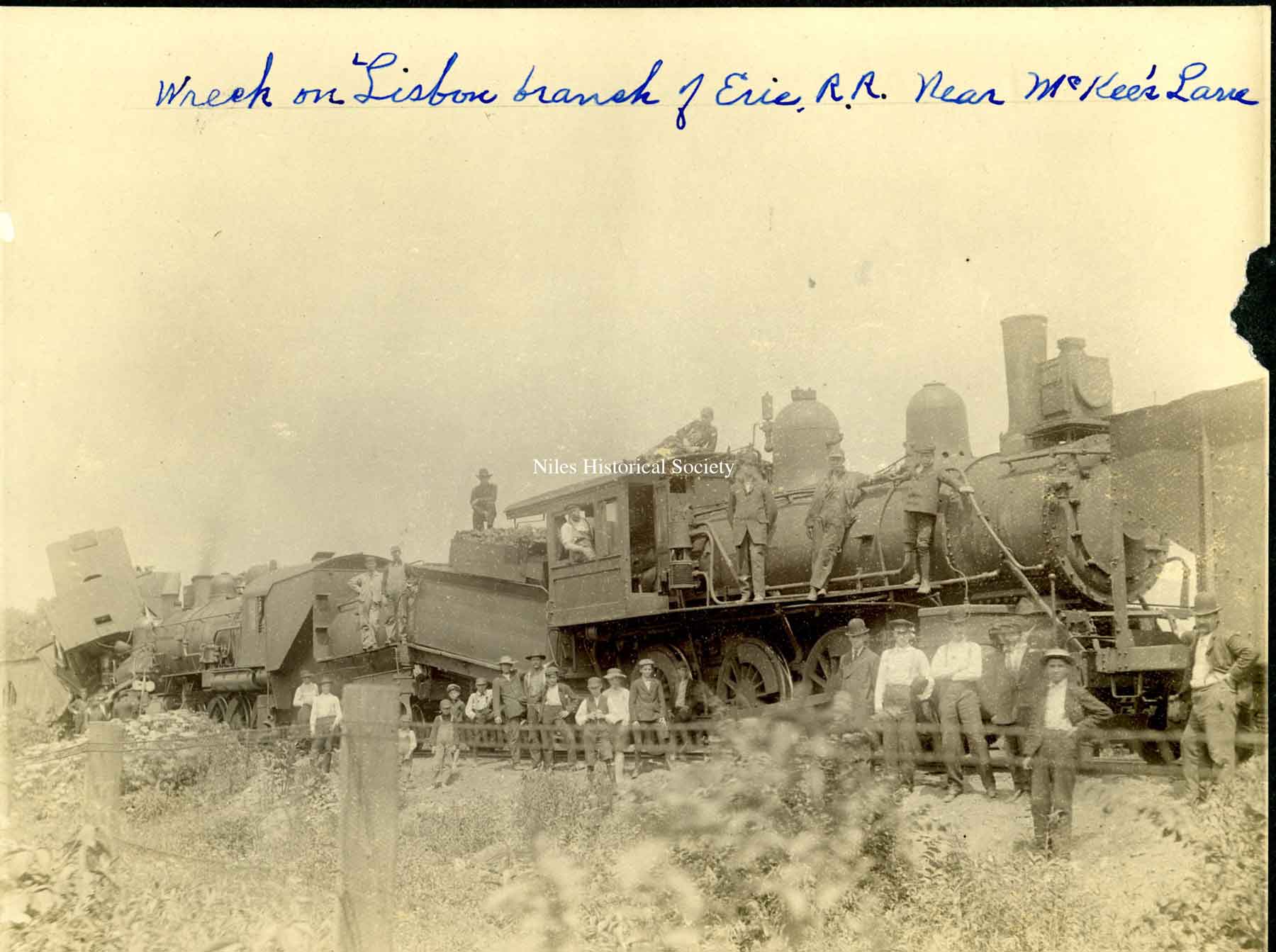
Early Railroads in Niles
1882 Birdseye map of Niles with rail lines marked in color.
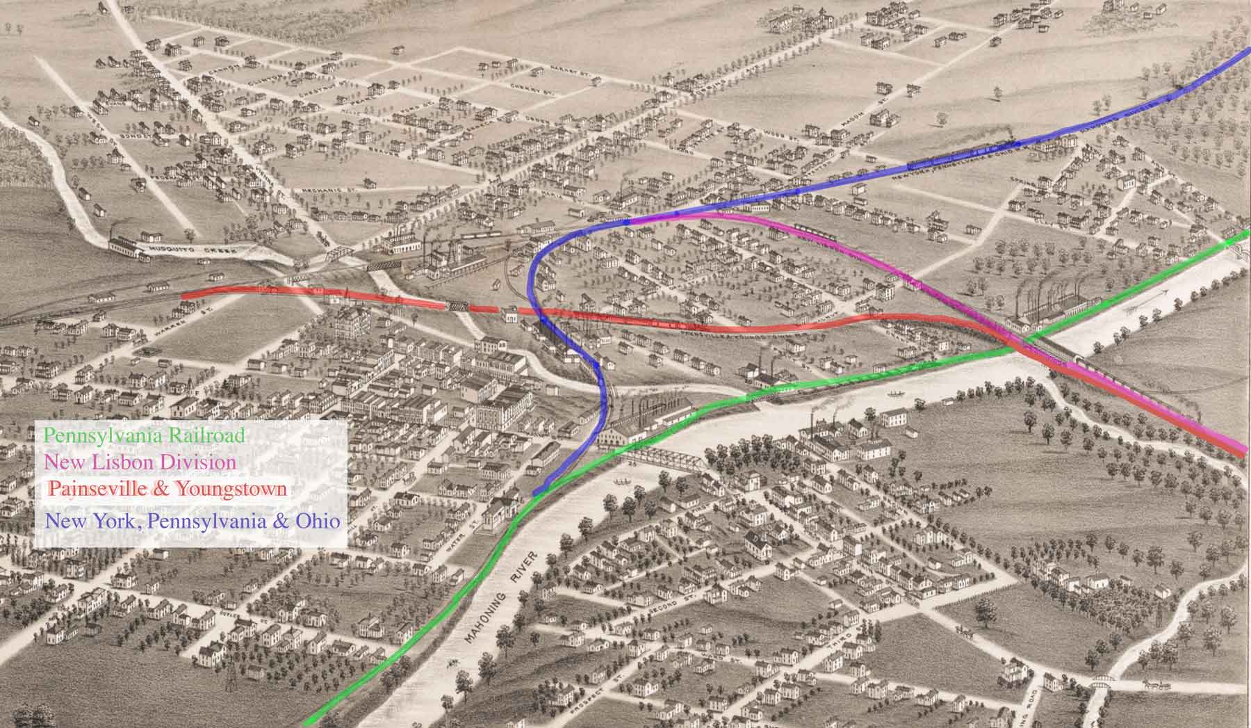
This map shows the route of the C & M Railroad (Erie leased) in the area bounded by North Main Street and East Federal and Heaton Avenue (West FederalStreet) featuring the General Electric Glass Works Company and the Bostwick Steel Lath Company.

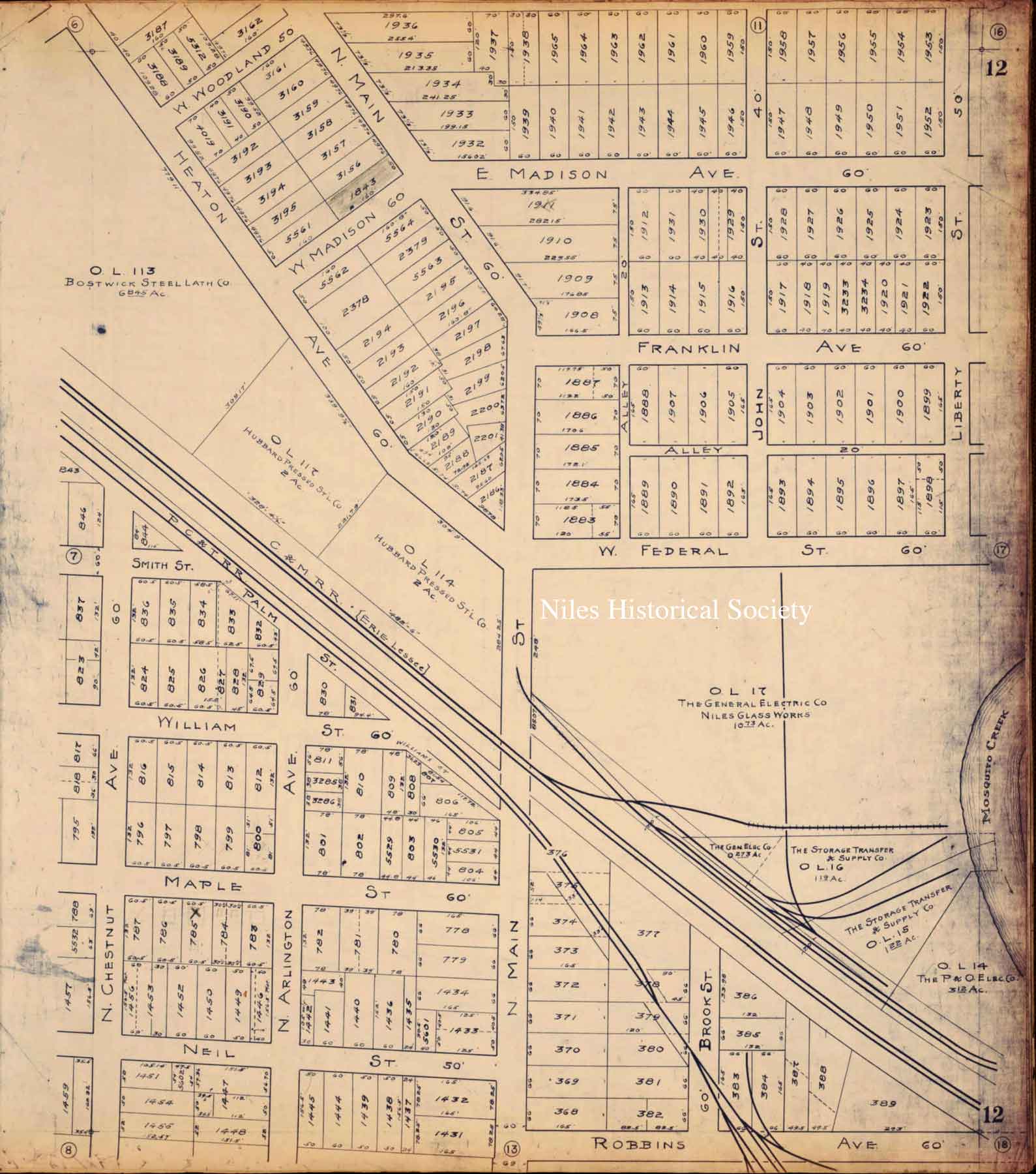
The 1918 map shows the many railroad lines in the vicinity of the Erie Railroad station.
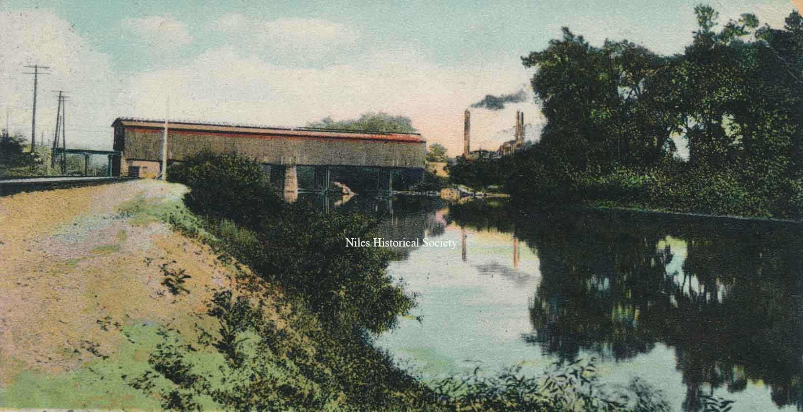
Niles-Alliance railroad covered bridge over the Mahoning River. It was built in the late 1880's and later became part of the Pennsylvania RR.
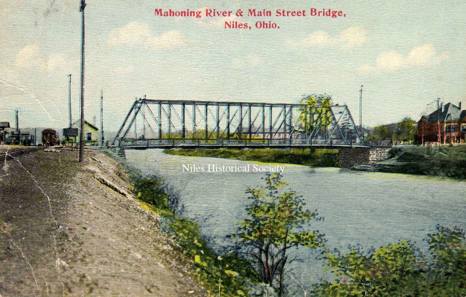
South Main Street bridge - sometime after Pennsylvania Railroad stationwas built in 1901. The bridge was built in 1882 by the Morse Bridge Co. of Youngstown, Ohio. It replaced an earlier span that was washed away by high waters. This bridge was replaced by the viaduct in 1933.
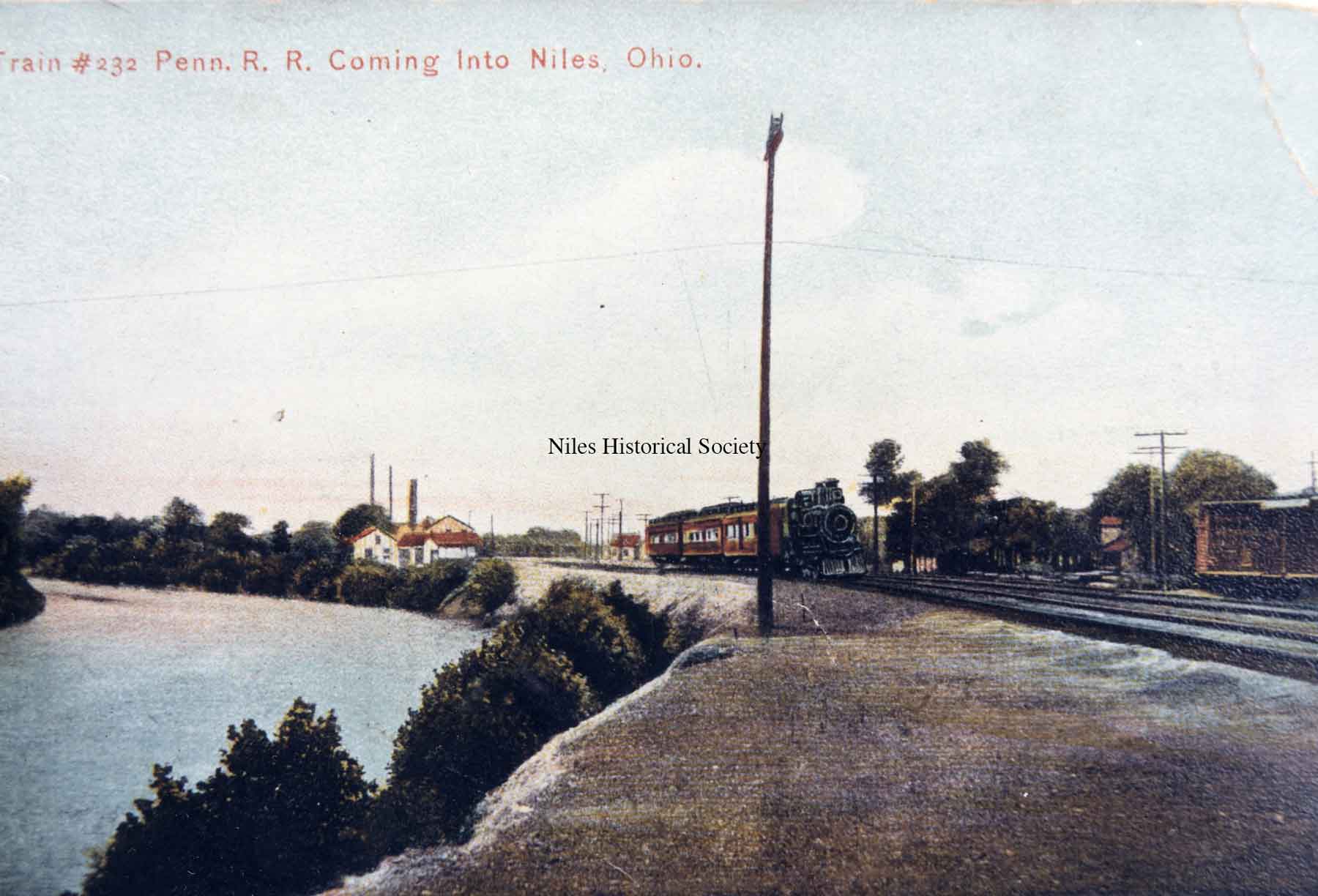
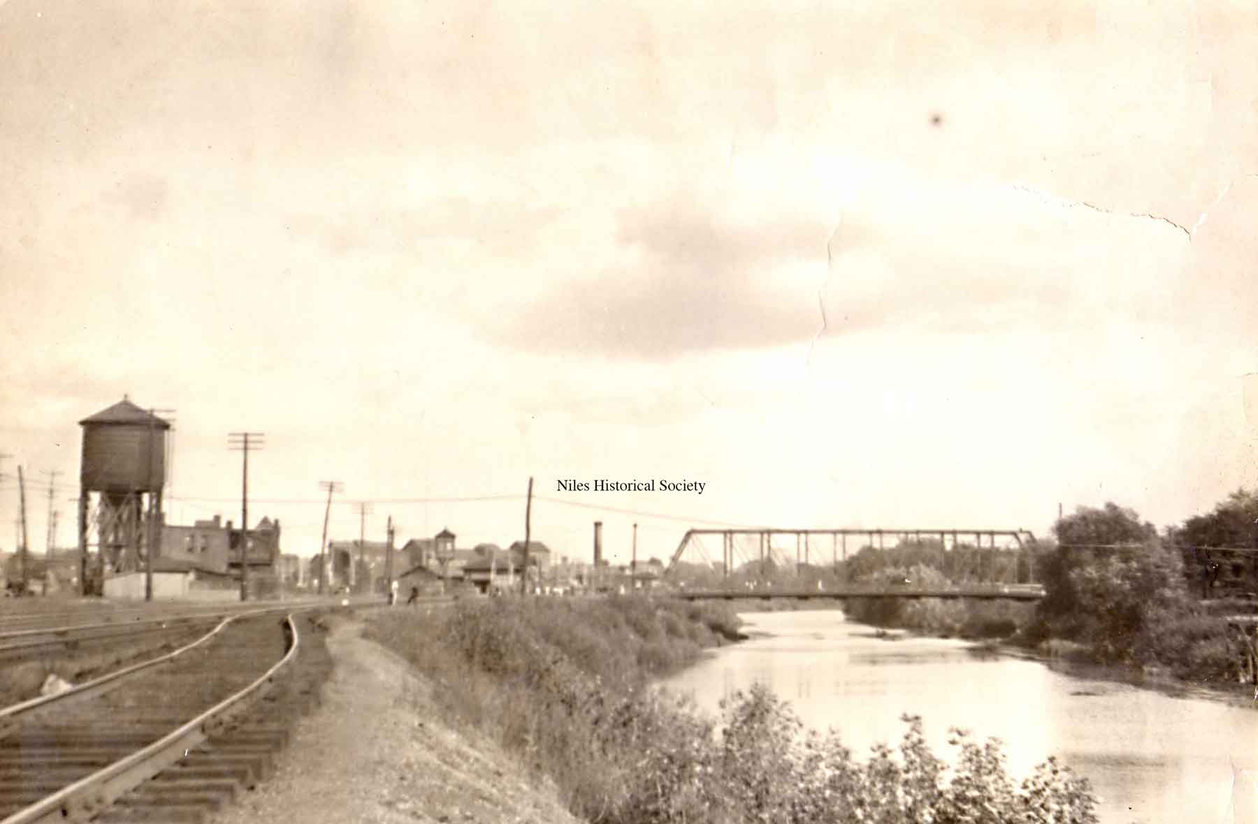
From South Main Street looking west. Note water works in the background on left. Passenger train is on the Pennsylvania RR coming into Niles.
The B&O railroad was located on the north side of Church Street. It ran through Niles as early as 1874. It later expanded taking in the Ashtabula & Pittsburgh line and the Painesville & Youngstown line
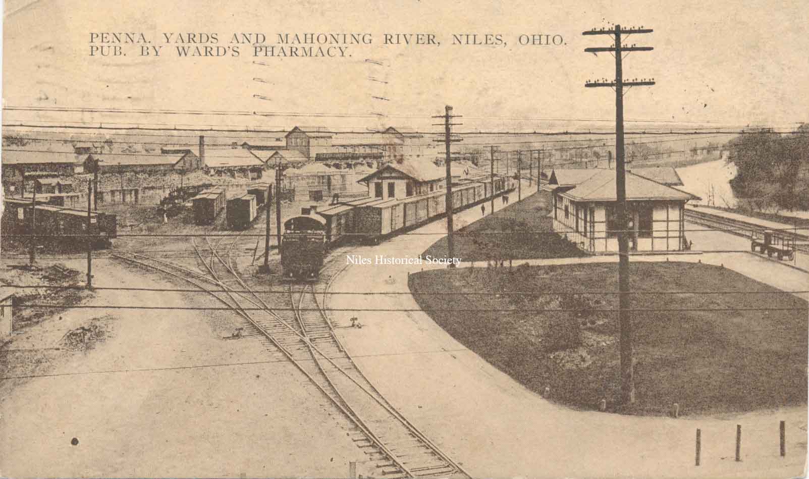
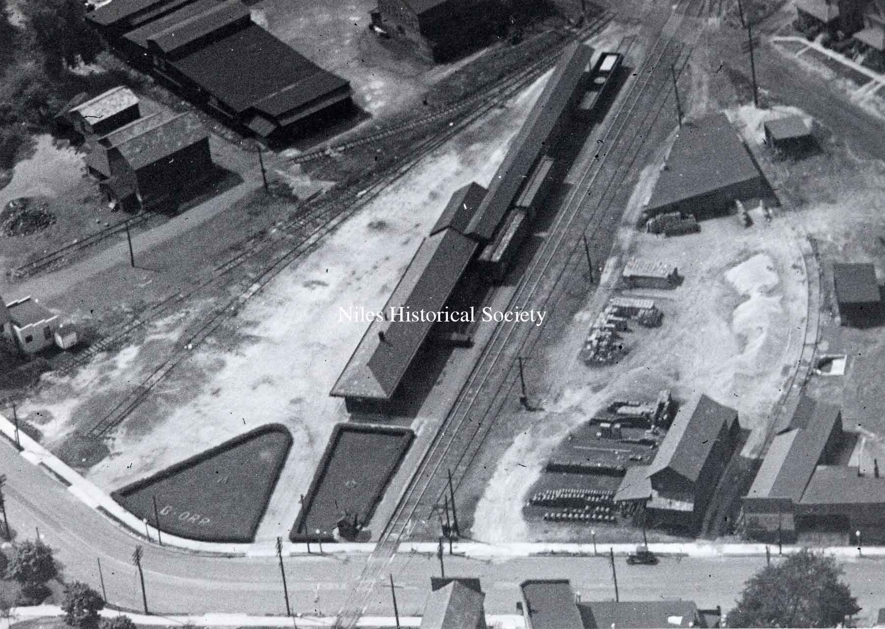
Pennsylvania RR yards and freight station with Mahoning River on the right and Niles Firebrick plant in left background.
View looking eastward the old iron bridge and RR crossing over the Mahoning River near Water Street.

1918 map shows location of the B&O yard.

1918 map shows location of PRR yard.
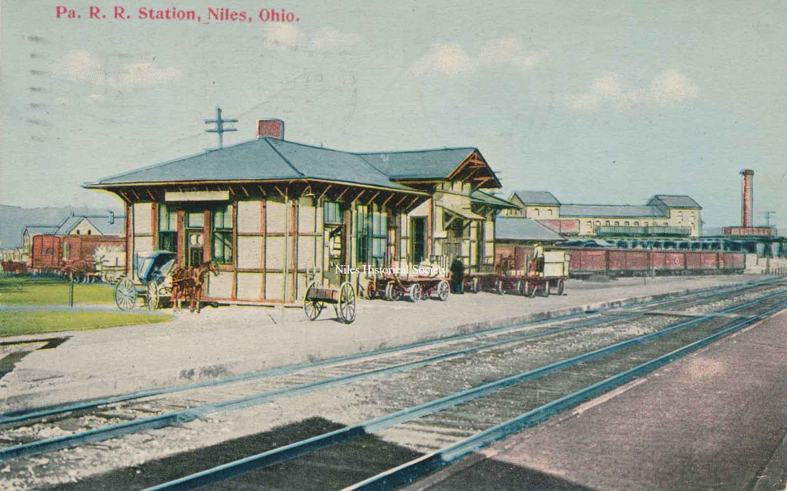
A view of the Pennsylvania RR freight station, which was located on South Main Street near the river.
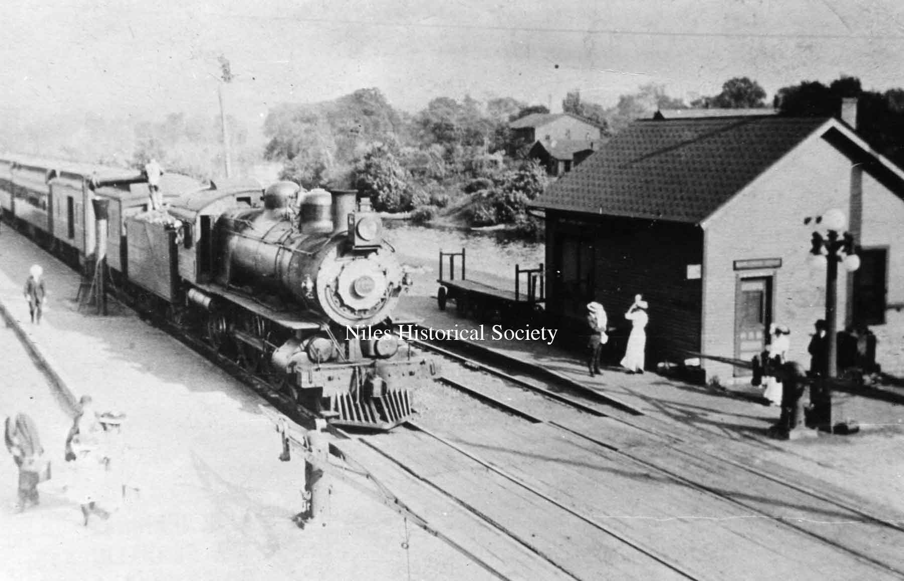
Pennsylvania train at the station around 1900-02.
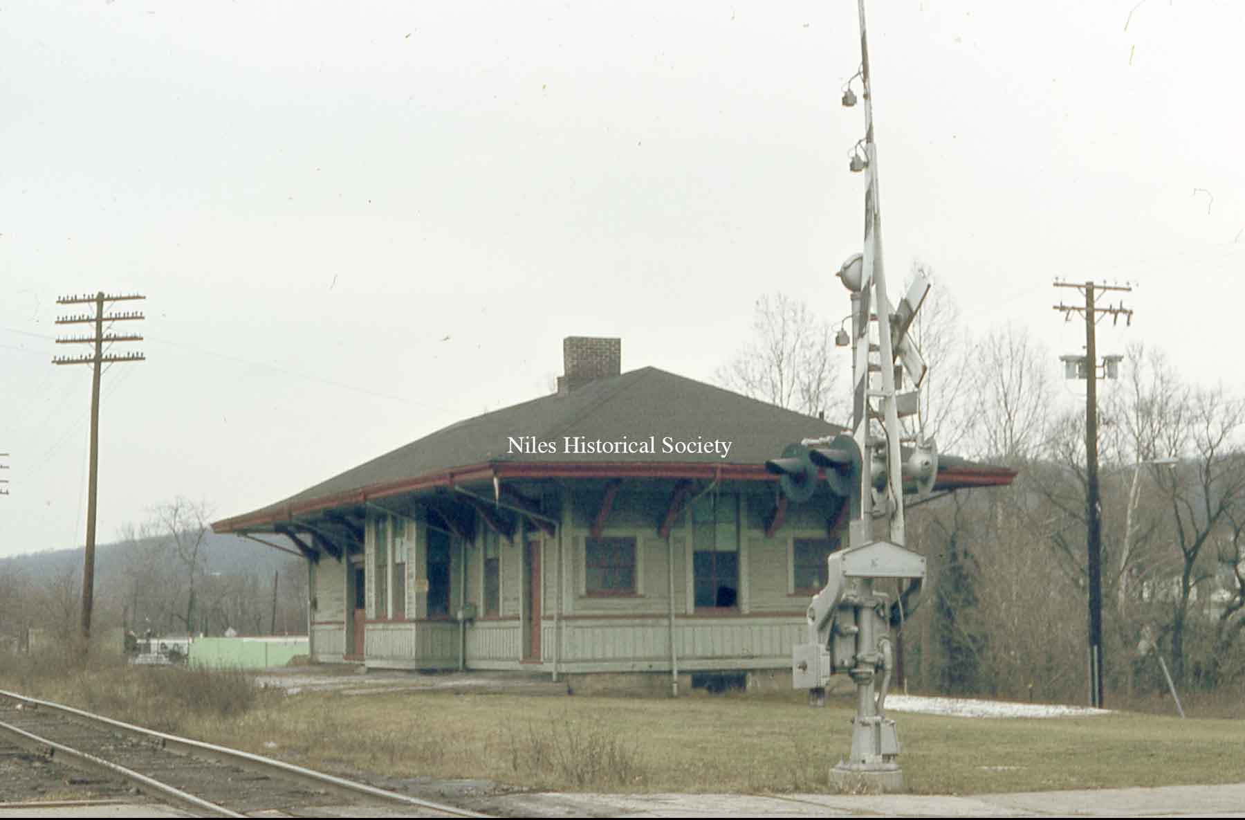
Pennsylvania passenger station, ca 1968
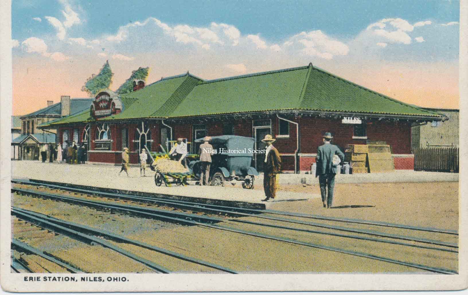
The Erie Depot was located on Mahoning Avenue
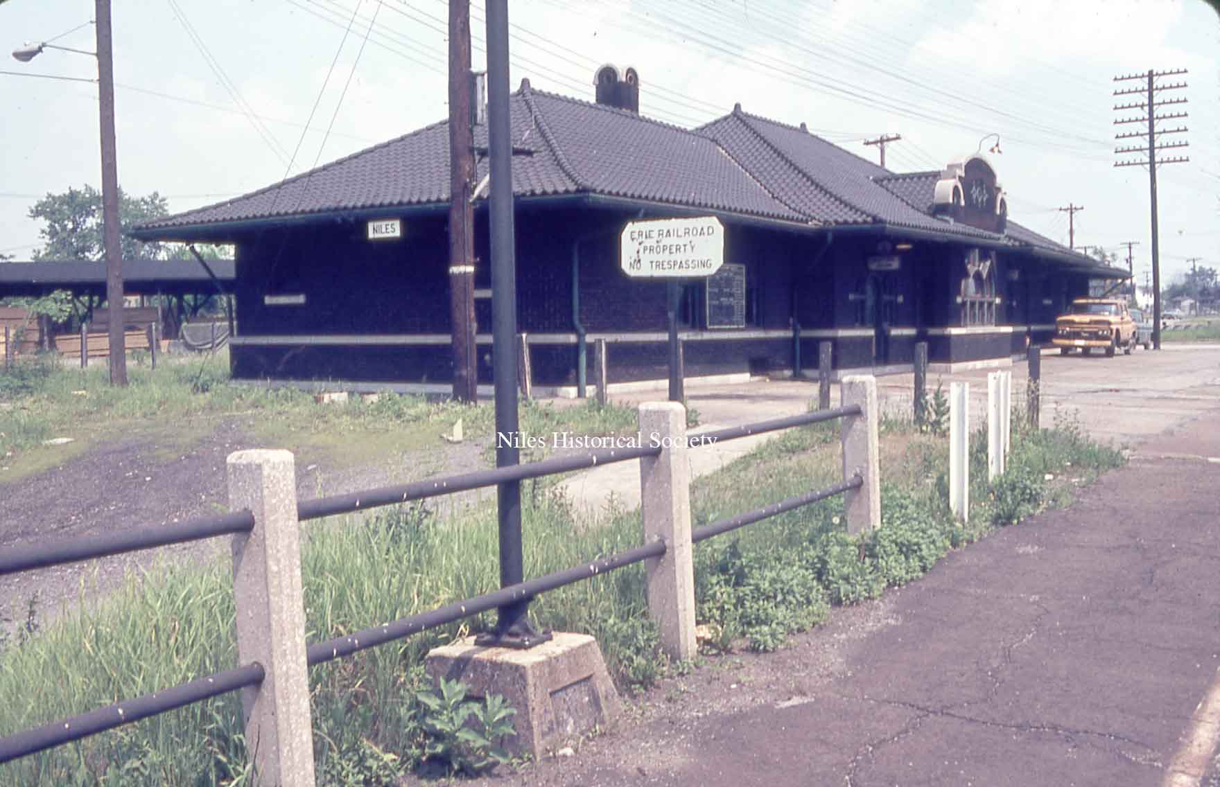
Erie RR Station, ca 1968.
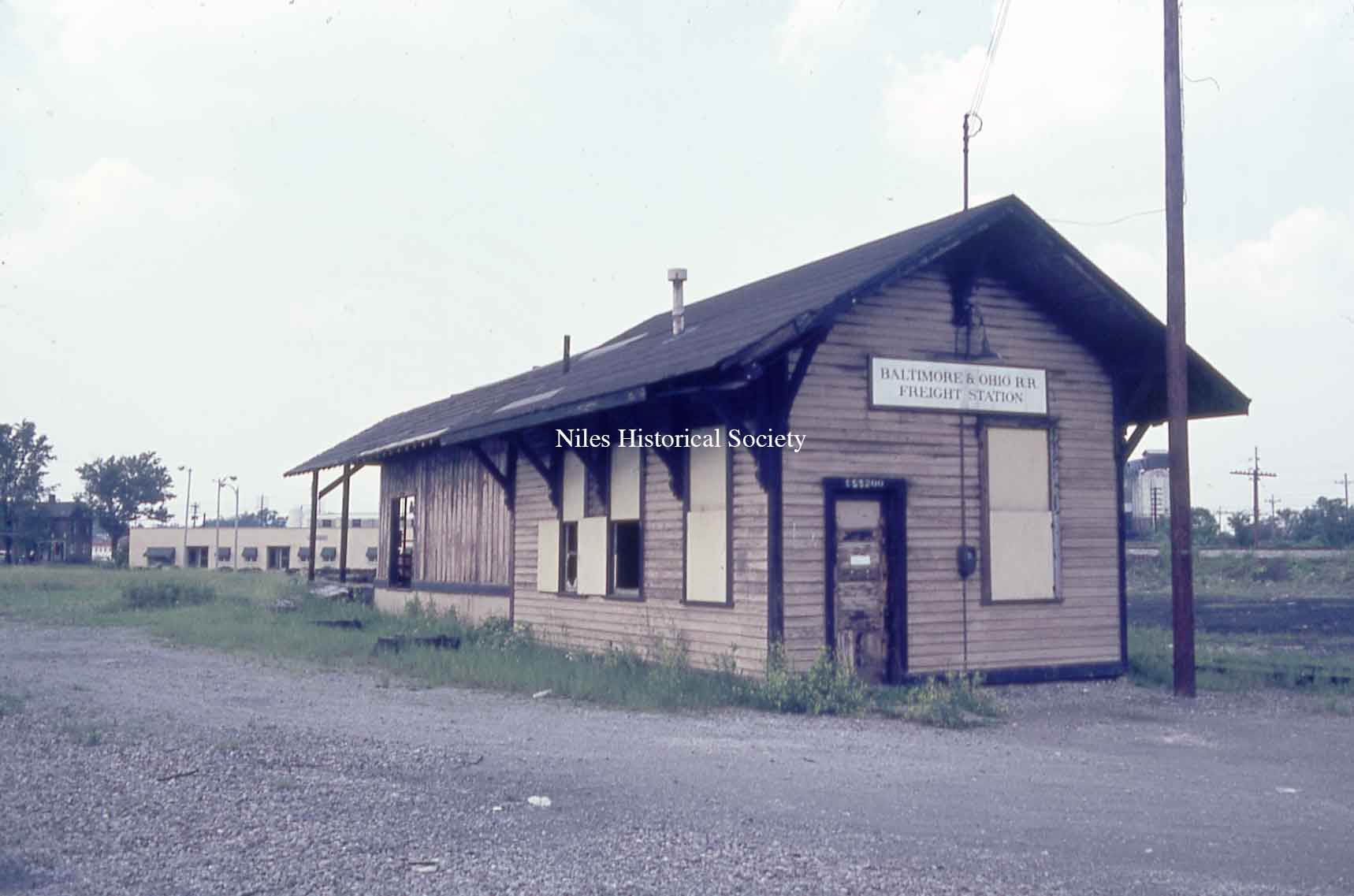
B&O railroad freight station, ca 1968
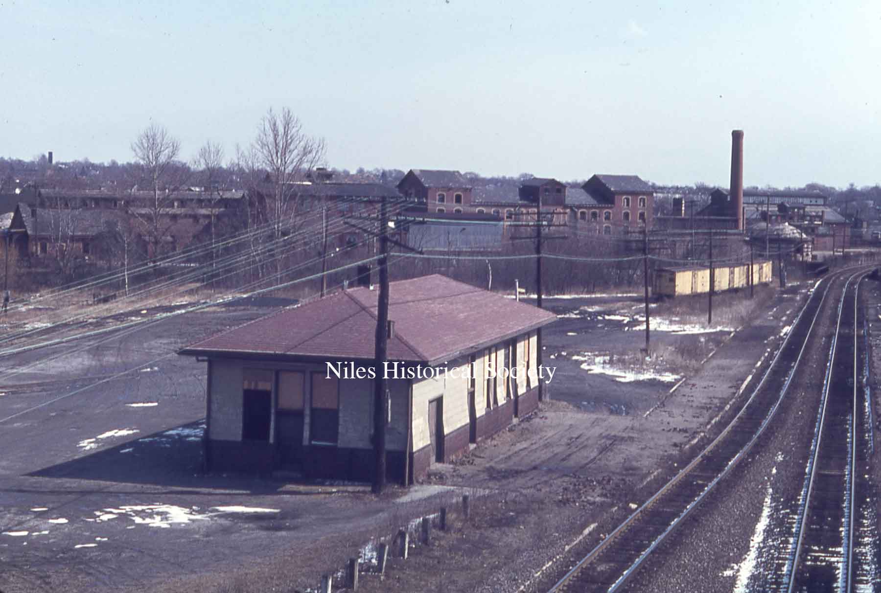
Pennsylvania Freight Station, ca 1968